
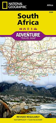
-Waterproof-Tear-Resistant-TravelMapNationalGeographic’sSouthAfricaAdventureMapprovidesglobaltravelerswiththeperfectcombinationofdetailandperspectiveinahighlyfunctionaltraveltool.Hundredsofpointsofinterestthathighlightthediverse,unique,andexoticdestinationswithinthecountrysuchasnationalparksandreserves,sanctuaries,WorldHeritagesites,archeologicalsites,andmuseumsarenoted.AlongthecoastbetweenCapeTown(thelegislativecapital)andPortElizabeth,areasforwhalewatchingandshark-cagedivingarenoted.DozensofbeachesarenotedfromtheSunshineCoasttotheNorthCoastfortravelerswishingtosoakupsomesun.Themapincludesthelocationsofcitiesandtownswithauser-friendlyindex,plusaclearlymarkedroadnetworkcompletewithdistancesanddesignationsformajorhighways,mainroads,andtracksandtrailsforthoseseekingtoexploremoreremoteregions.Importanttravelaidslikeairports,airfields,raillines,ferryroutes,andlighthousesareincludedaswell.ThewestsideoftheSouthAfricamapincludestheNorthernCape,WesternCape,EasternCape,andportionsoftheNorthWestandFreeStateprovinces.JohannesburgandneighboringcityPretoria(administrativecapital)areincludedontheeastsideofthemapalongwithBloemfontein(judicialcapital)andthecoastalcityofDurban.EveryAdventureMapisprintedondurablesyntheticpaper,makingthemwaterproof,tear-resistantandtough--capableofwithstandingtherigorsofinternationaltravel.MapScale=1:1,550,000SheetSize=25.5“x37.75“FoldedSize=4.25“x9.25“
unique NATIONAL ADVENTURE 550 MAP